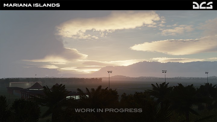
Tinian Island
Introduction
Tinian is located approximately 1,500 miles (2,400 kilometres) from mainland Japan, and was chosen as the suitable staging base for continuous heavy bomber attacks on the Japanese Islands. Immediately after the island's seizure by the US in the summer of 1944, construction began on the largest air base in the Pacific region, covering almost the entire island.
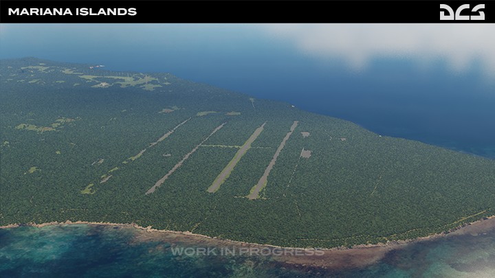
The four runways at North Field were lettered "A", "B", "C" and "D" from north to south and were said to resemble the deck of a busy aircraft carrier.
The North Field airbase was the first loading and launching point for the atomic bomb attacks on Hiroshima and Nagasaki, Japan. At the end of WWII the base was placed in a standby status and officially closed in March, 1947.
Tinian International Airport is a public airport originally constructed by the Japanese during WWII with two parallel runways. It was subsequently repaired by the Americans, and then called West Field. Tinian airport now covers an area of 1,416 acres (573 ha) with one of the runways measuring 8,600 x 150 ft (2,621 x 46 m).
In May 2012, the United States Marine Corps VMFA-121 operated its F/A-18D Hornets from the airport using M-31 aircraft carrier arresting gear systems.This airport is now owned by Commonwealth Ports Authority.
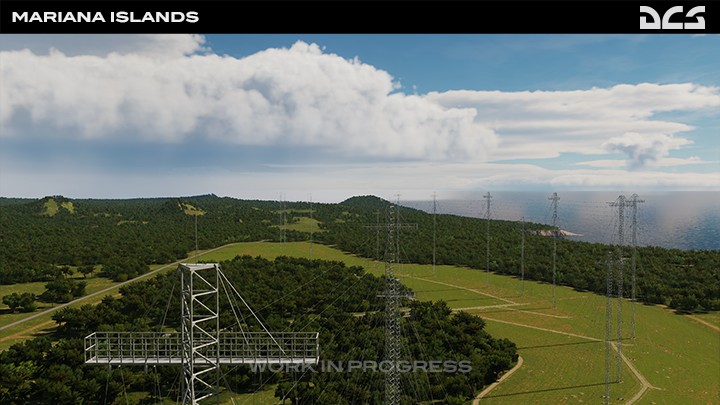
Another big installation on the island - Robert E Kamosa Transmitting Station. The antenna curtain array along the central west coast of the island is a class of large multi element wire radio transmitting antennas, used in the shortwave radio bands. Suspended by supporting wires and strung between pairs of steel towers up to 300 ft (90 m) tall. These antennas are used by international shortwave radio stations to broadcast at transcontinental distances.
|