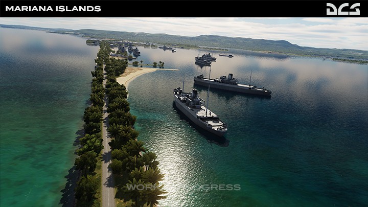
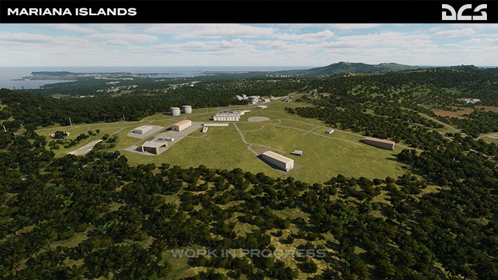
Mariana Islands
The Pacific Supermarket
We are continuing to work on Air Traffic Control (ATC) for the new Mariana Islands airfields that will later take advantage of the new ATC system currently in development.
Internal testing of this map is going well, and we are working to further improve the ground textures and address road network anomalies. Work on improving the ports and shorelines also continues. Our goal is to create the best looking DCS map yet by using our latest terrain development kit tools.
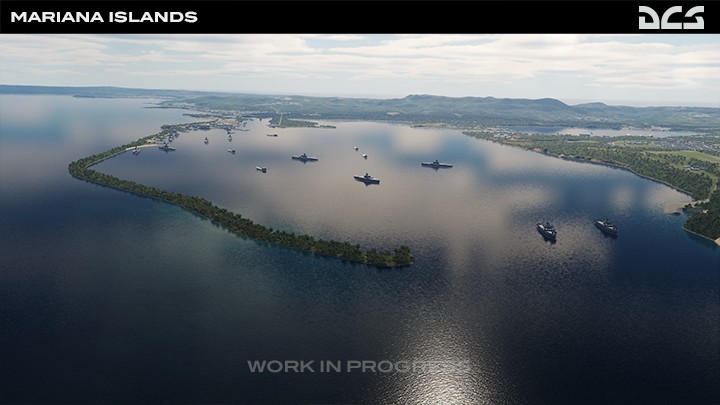
US Naval Base, Guam
The US naval base on Guam holds a massive amount of post-war resources and war material. In the late 1940s, the Seabees construction brigade extensively developed the land and it became the primary docking and storage facility for the Guam-based US Navy fleet. It remained under construction for the next 25 years.
Ordnance Annex
The Naval Magazine for the US Naval base is situated in the south-central section of the island. It occupies 8,800 acres, and it includes an entirely man-made reservoir. It is also the central heating and water distribution plant for the US Naval base.
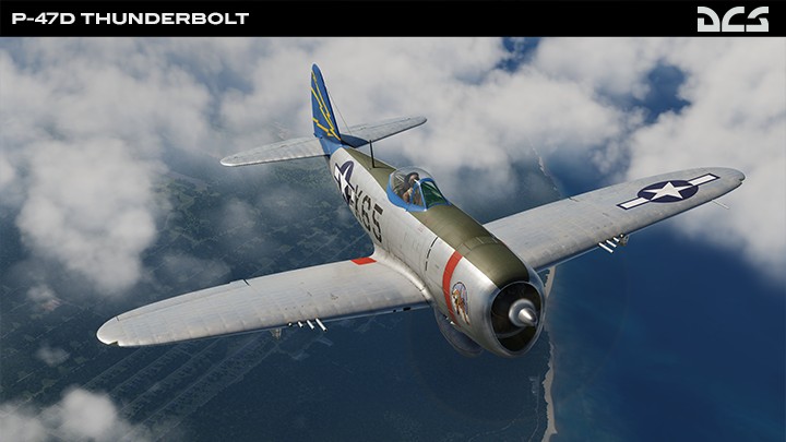
Northwest Field
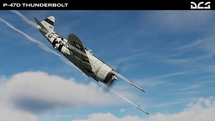
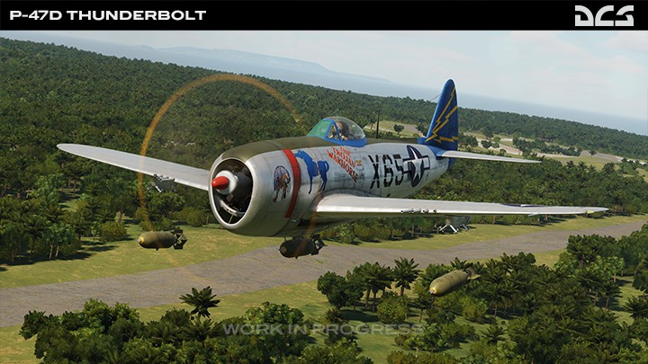
Northwest Field became a fighter base in October 1946, and it was home to the reactivated “Flying Tigers” fighter squadron. Equipped with P-47 Thunderbolts, it was assigned the responsibility of defending the Mariana Islands. Weapon stores and bunkers were built between Northwest Field and North Field. These facilities were used to support the long range and intense strategic bombing campaign against the Japanese.
Andersen Air Force Base AAFB
On the 7th of October 1949, North Field was renamed after Brigadier General James Roy Andersen, and it remains one of the largest and most important US air bases in the Pacific. It had a direct supply line from the United States and was considered ideal for B-52 Stratofortress operations. Andersen AFB now supports operations in the Indo-Pacific theater.
|